

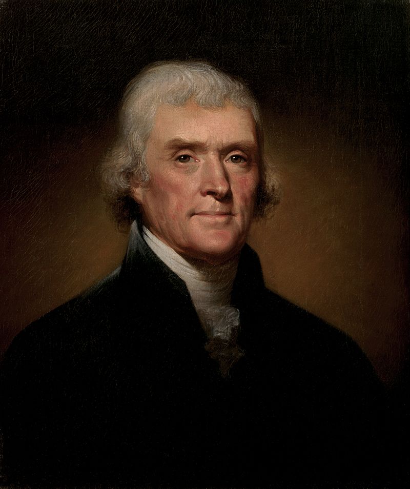
Did you know that the very system we use for locating property in Real Estate was founded by former President Thomas Jefferson.
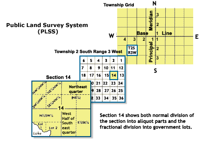
Jefferson was not only our 3rd president, but was also a land surveyor. With his knowledge of surveying he created the Public Land Survey System. This system broke land down into Sections, Townships, and Ranges. Allowing people to easily locate and map property. The system is called the Public Land Survey System or PPLS for short.
The little know starting point for this entire system is marked by a Monument.
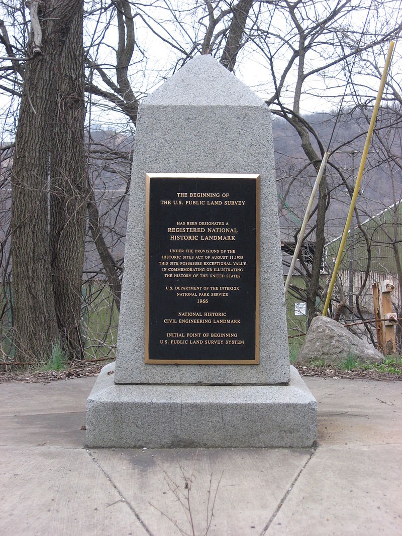
Based of this marking you are able to accurately locate land based on its Section, Township, and Range.
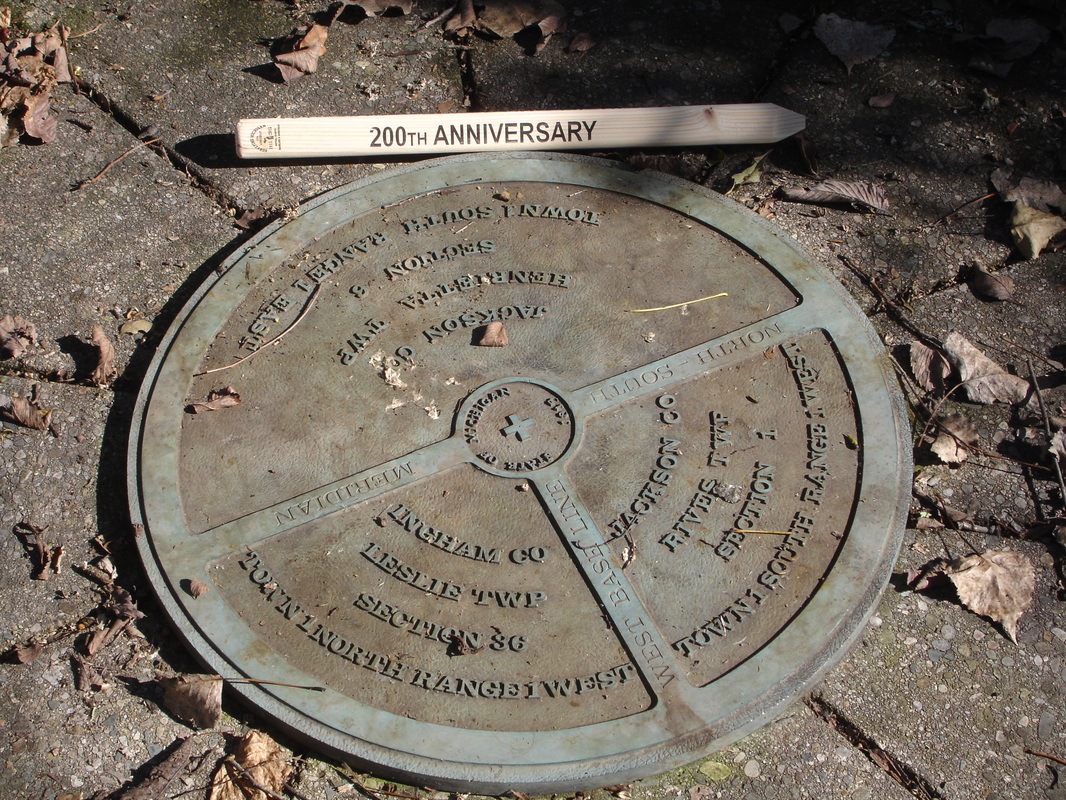
Every State on the PLSS has its own starting marker, and Michigan is no exception. Below is the Marker Monument for the State of Michigan
If you would like to learn more on the PPLS system click here!


